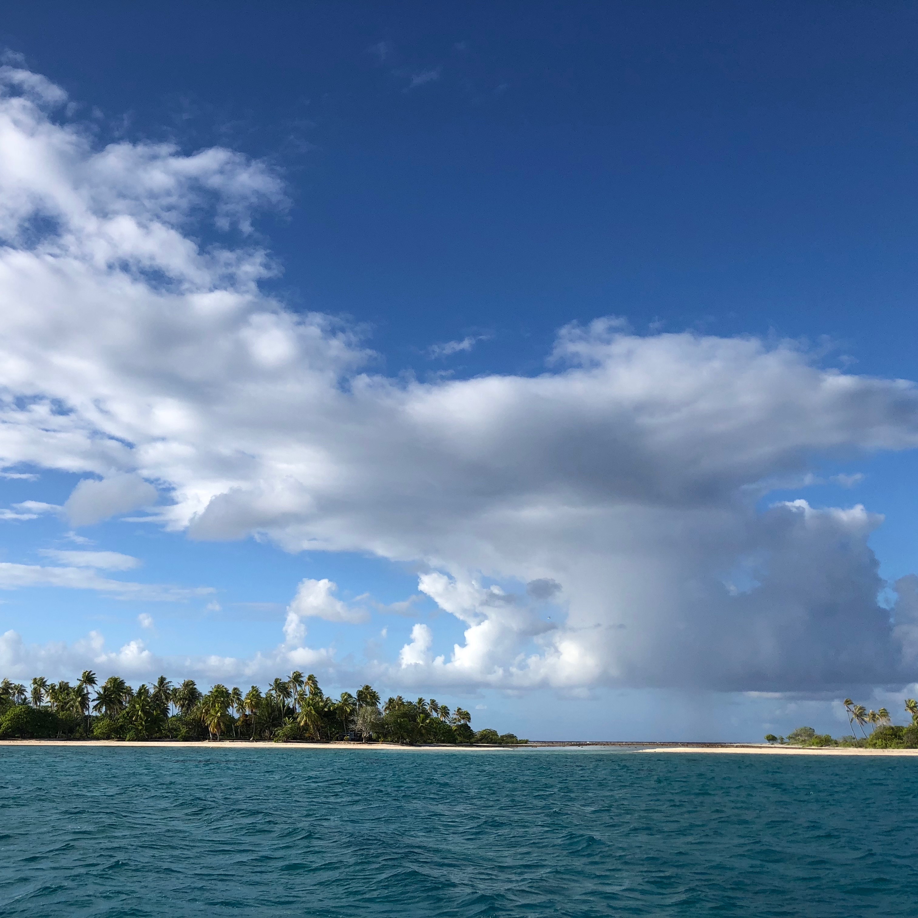
We have arrived in paradise. Just plop an image of Banyan into that classic scene of paradise in your mind; aqua blue water, white sandy beach, thin strip of low lying land full of palm trees, fat coconut crabs running around and water full of exotic fish. We are there.
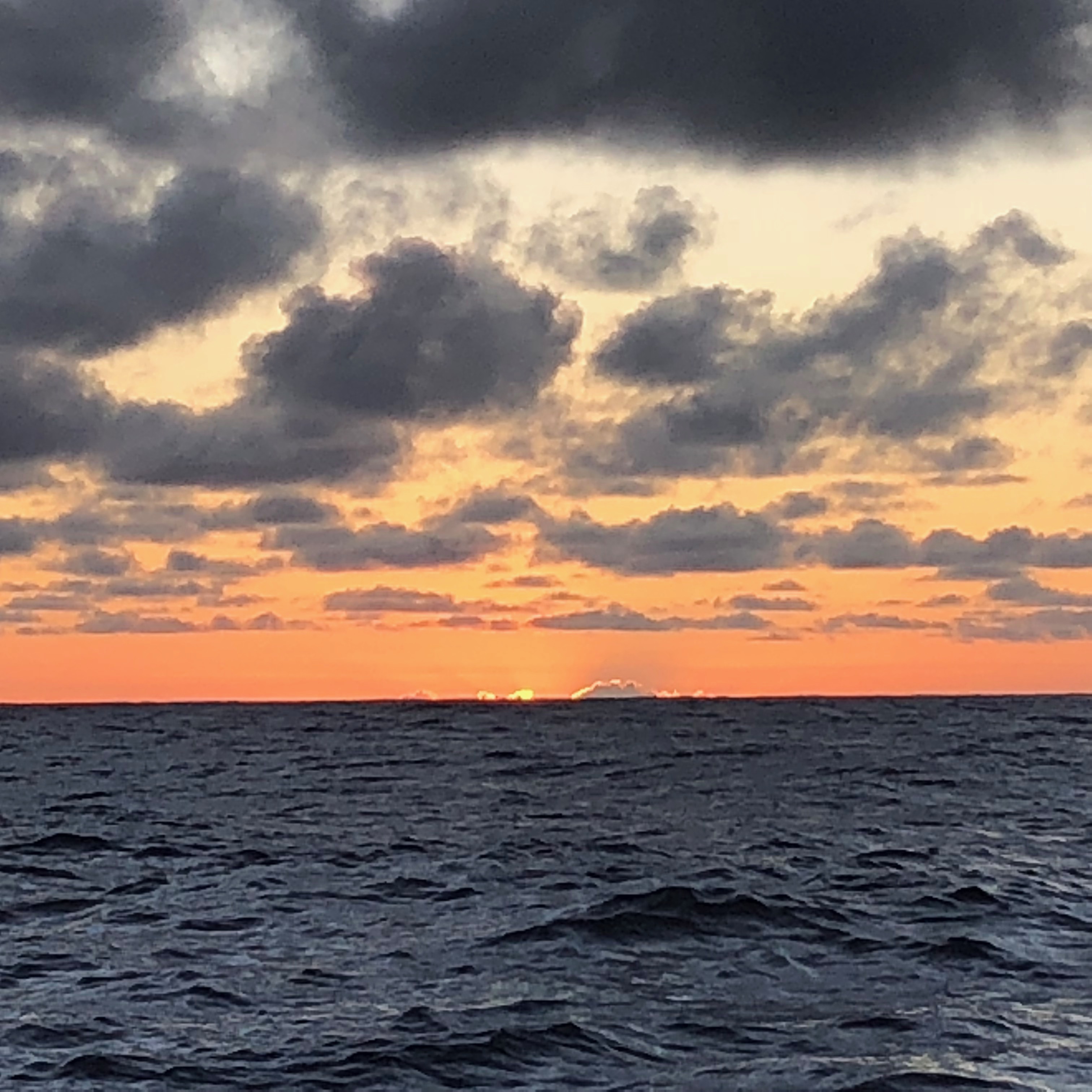
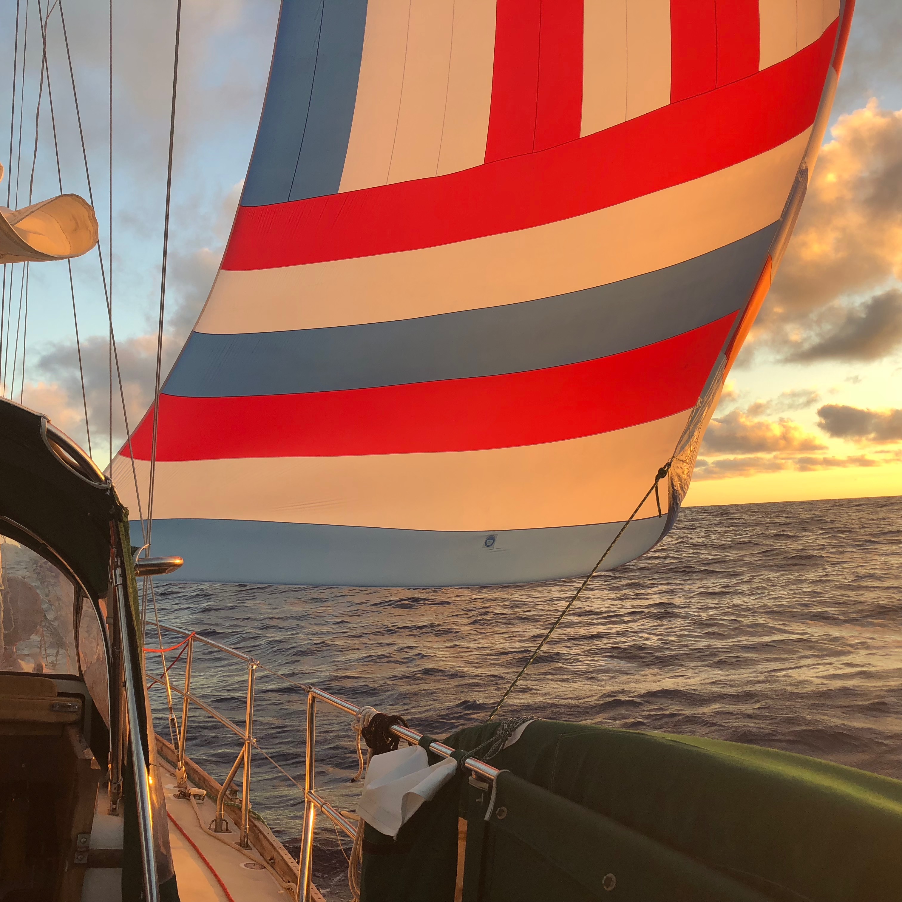
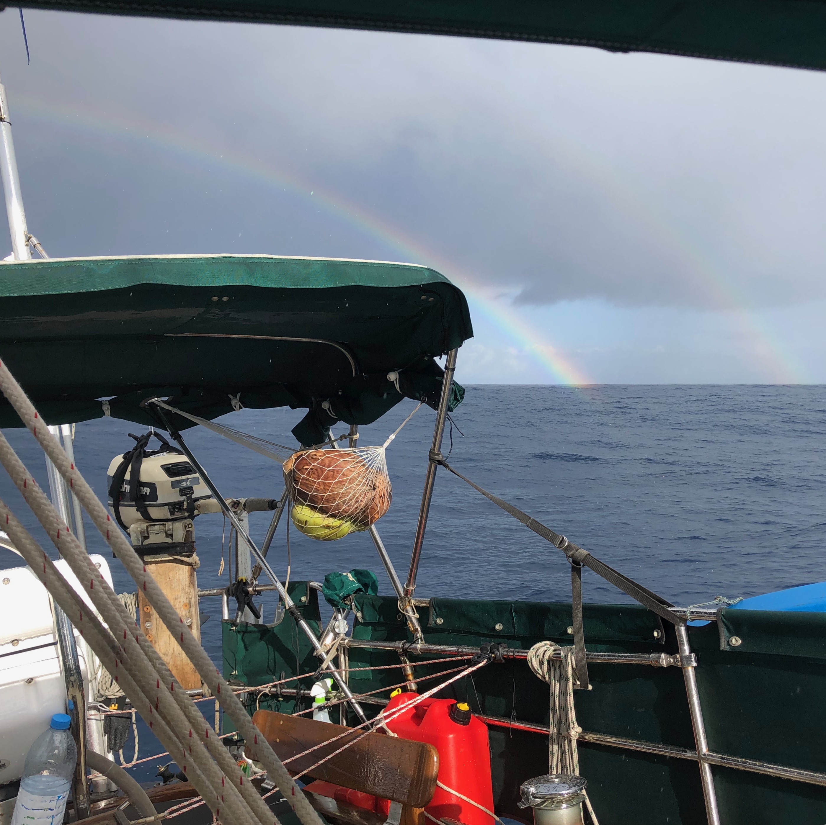
Our four day passage from the Marquesas turned into an almost six day passage when we were becalmed for 36 hours in the middle of it. By two different weather predictors we were supposed to have 10 – 15 knots of breeze on our beam the whole passage, but with the challenges of predicting weather due to the systems further south, it is evidently hard to say where these little pockets of no wind will occur.
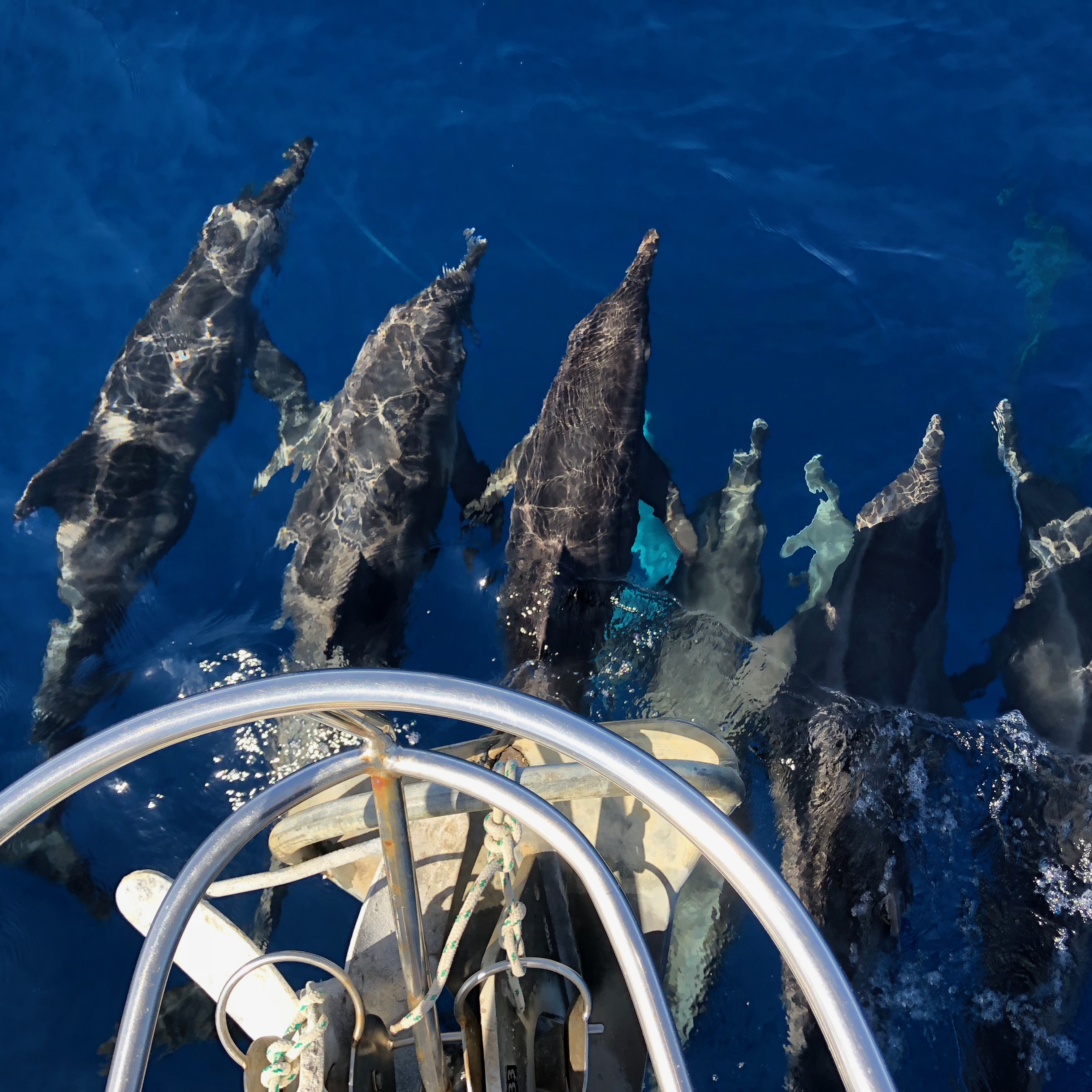
We settled into going nowhere with alarming ease. When we did have wind, the passage was sufficiently bumpy that not a whole lot of school work or anything else got done. We lost two of our best lures to fish that were evidently too large to be held by our line and we had that amazing experience with the dolphins where they seemed to be sleeping – so cool. All in all, it was a good passage but we were very happy when we sighted the Tuamotus.
Sighting the Tuamotus is harder than it may sound! The Tuamotus Atoll chain is a long cluster of atolls, 77 of them to be exact. They are sunken volcanoes that have created low lying rings of coral encircling a blue lagoon. They keep out the larger swell of the sea and, if they have a navigable entrance, provide protected anchorage and a paradise to explore. One thing that surprised us is how huge even the smallest of these atolls are. Where we sit in Kauehi we can only see maybe 1/8 of the whole atoll before it fades away in the distance.
But be careful
There is a reason that this is called the Dangerous Archipelago on some maps. There are more ship wrecks in this part of the South Pacific than anywhere else. The Kon Tiki expedition ended on the eastern edge of the atoll just to our south. First of all, you could easily see how a ship might just accidently run aground at night as the land is low lying and you can barely see it (even if you know where it is and you are actively looking for it in full daylight). Also, the entrances to the atolls can be tricky with the ebb and flood of the currents – water can rip through these small openings in the reef causing standing waves that can be quite dangerous. Passage through them is advised during slack current (if you can find the data that will accurately give you slack current for that specific place
and you feel that it is accurate). We are using the “Tuamotus Guestimator”, it is an excel spreadsheet, built, maintained and shared by another cruiser. This spreadsheet estimates the currents and then we adjust based on the current weather. If we’ve had significant wind and wave action for a couple days, that can “fill” the atolls due to waves crashing over the coral edges. Some atolls will not have a slack for a couple days during and just after major wind events and the outgoing current can exceed 8 knots. Banyan only moves at about 6 knots under power so that can be an issue
. Add to these two dangers, the fact that coral heads or “bommies” are scattered throughout the inside of these atolls. Huge and small they lie just below the surface of the water, uncharted, ready and willing to be run into at any moment. So, wear your polarized sunglasses, stand on the bow and keep the sun behind you so you can spot these bad boys as you move around.
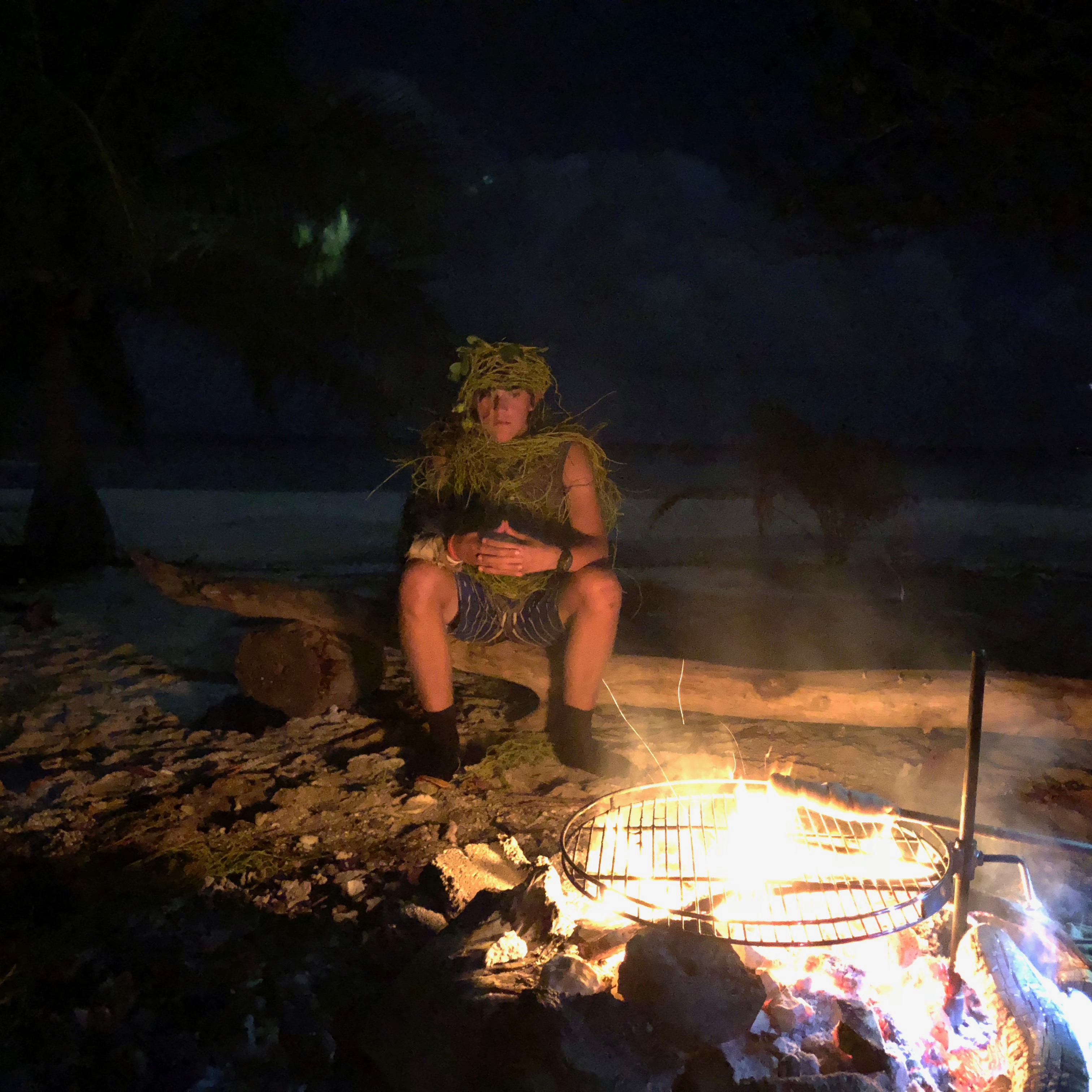
When we pulled into the south west corner of Kauehi we were unexpectedly greeted by two kid boats in the anchorage! So, naturally, it was time to have a BBQ on the motu and meet some new friends. So, with kids running around like the lord of the flies – hunting, cooking and eating crabs (entirely on their own), the adults settled into preparing food and making some new, old friends.
Technical Notes: Within Kauehi, we followed Yolo’s track from 2011 referenced in the Soggy Paws compendium (see link below). Here are those way points: Just inside entrance: 15 56.7754 S 145 10.4381 W Atoll Mid point: 15 56.1800 S 145 05.6300 W Banyan’s Anchorage 15 57.5253 S 145 04.9261 W Alternate Anchorage with more protection from easterlies and south easterlies (Yolo 2011) 15 56.2060 S 145 03.3280 W These waypoints lead to a relatively easy transit of the inner lagoon. Entrance: Kauehi is said to be an easy entrance, it is very straight, short and open, no slithery channel to navigate. We entered the atoll a bit too early we feel, about ½ an hour before slack current during the last of the flood (incoming current). We had about 18 knots of breeze against the current. Wind against current equals waves
It was quite a washing machine of waves, nothing huge, but it sent us jigging a little and we cranked up the RPMs to make sure we stayed in control of the boat. But, aside from that, it was open and easy. On departure, we were also early but had the current and wind behind. It pushed/spat us out at about 9.7 knots. That was the fastest Banyan had ever moved on our watch! This again is not an issue if there’s nothing in front of you but open ocean.
Soggy Paws Website Reference: www.svsoggypaws.com. The Soggy Paws compendiums are an amazing resource. We are fortunate that they are ahead of us and can benefit from their organization. Thank you Soggy Paws!
Wow
Great to read about your first atoll entrance! We’re still in Uo Pou, where we’re waiting out some weather while the kids learn to paddle the va’a pirogues at the school here. Hope to cross paths soon. Fair winds from all of us on DEBONAIR.
Great to hear from you! Starting a hot week in Indiana, so I ordered some Red Mare! Thanks for giving us a “picture” of your adventure and we’ll check out the Soggy Paws site. Enjoy the beauty of the area. Love to all!
Sounds like paradise! I can totally picture the kids and their crab hunt – so fun!
Mo and Myka want you to know that they are doing a mini horse/pony camp this week. Of course, anything horses leads us to think of you, the girls and ladybug. ❤️
Xoxo!
HI to the sailors! I finally found our Nat’l Geographic world map that I knew we had SOMEWHERE…now I can see some of the little islands you have made port at. Like Doug said, it is to be SUPER hot here and we have a small outdoor wedding to attend on Sat and probably the reception will be also. Guess we will survive. I’ve finally been working on some genealogy, but for one of Fred’s cousin’s boy who at one time was separated from the family…this is mainly just his Dad’s side, but still part of the info I needed anyway. Since I’ve started on both the Blue’s and Exmeyer’s, that covers a lot of people. p.s…..My upstairs and photos are still a mess from working on Randy’s 50 yr scrapbook 5 months ago..oh well the mess will wait for me, I am doing what I WANT to do now 🙂 Safe Sailing! Luv U All A Jan and U Fred
July 3,2018
Always interesting to read what you all have been up to..
Be safe
Joanie Schumann
Thanks for sharing a great informative article. Please show us some pictures. Fair winds!